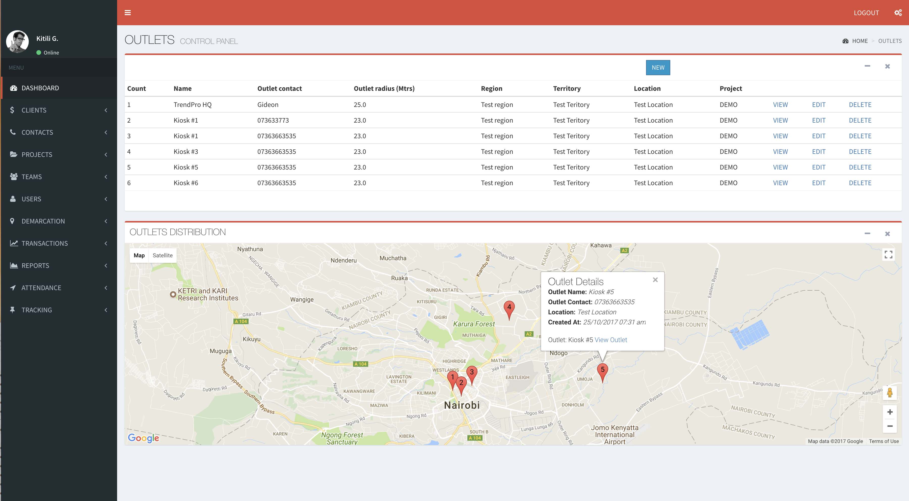
SaapCRM as a Geospatial Data Collection Tool

The need for geospatial data has been growing in demand as geotagging data provides location specific insights into the distribution of needs and how to optimize investments to meet those needs. For example; investors can use spatially defined infrastructure and population data to understand existing services coverage and opportunities for future investment, policy makers can track and visualize key socio-economic and environmental data down to the smallest administrative units to more accurately formulate policy and direct resources.
Overtime the collection of geospatial data has come a long way, from surveyors manually mapping out locations to immobile stations being used to process location and navigation data due to limited computing power. However with the rapid advancements in mobile computing and GIS-GPS-RS technologies, a simple smartphone can be used with appropriate applications to collect location specific data that interfaces GIS and relational databases hence enabling the drawing of correlations and patterns among many variables to provide location specific insights for management.
Integrating geospatial data with household surveys like demographic and health surveys can enable disaggregation and analysis by spatial characteristics such as proximity to roads, health clinics, public transport or levels of urban development. This can be highly insightful for policy makers to effectively prioritize their resource allocations for maximum development.
A geospatial tool likeSaapCRM can be deployed to complement traditional data systems such as the census data, administrative data, household survey data, vital statistics and economic data enabling visualization and monitoring progress across spatial scales.
Want to work with us?
Have this interesting project and you would like to partner with us? Give us a call today.
Contact us today!